
Each project exists in a unique area with characteristics that define constraints that need to be considered during the project life cycle. A thorough understanding and compilation of data resources is a critical step when evaluating project areas for future development. Our team is highly experienced in performing the early stage “deep dive” desktop reconnaissance needed to screen for potential environmental and cultural features in a project area.
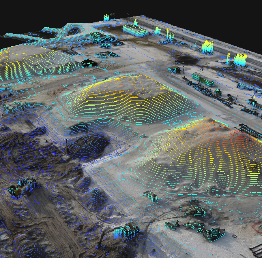
Current Construction Progress and Permit Compliance
In addition to a full suite of GIS services, ne³rd is proud to offer a full range of permitting, environmental and wetland expertise through its partnership with Peekstok Environmental Consulting LLC, which has over 30 years of experience with Florida environmental issues.
Florida environmental services include:
South Florida Water Management District (SFWMD) General Water Use permits.
Conducting wetland delineations, benthic and seagrass surveys pursuant to State and Federal criteria.
Evaluating wetlands pursuant to the Uniform Mitigation Assessment Method (UMAM), Wetland Rapid Assessment Procedure (WRAP) and Wetland Assessment Technique for Environmental Review (WATER).
Preparing environmental documents required by State, Federal and Local regulatory agencies.
Conducting monitoring efforts to comply with permit conditions.
Preparing documents for Florida Board of Trustees approval to use State Lands.
Providing listed species coordination with resource agencies.
Preparing preserve area management plans.
Developing wetland restoration plans.
Providing expert witness testimony regarding wetlands, mangroves and other marine issues.
Providing coordination with State, Federal, Regional and Local governmental agencies regarding environmental issues.
We specialize in the following aspects of geospatial environmental and cultural screening:
Data Reconnaissance
Data Modeling for Project Integration
Data Creation
Wetlands Identification and Mapping
Workflow Planning and Coordination with Field Resources
Quantification and Analysis for Reporting