
UAVs or drones deliver the highest resolution spatial imagery that has ever been available to consumers. Coupled with the affordability and near-real time turn around, users are now able to utilize current imagery for uses never before envisioned.
Having been consumers of spatial imagery ourselves we understand the importance this high resolution and timely resource. This new epoch of aerial imagery does away with long lag time and high costs for budgeting and delivery.
Please note this data is not certified for any purposes or accuracy and is strictly for visualization.
Please visit our Aerial Image Mosaics page to view some sample data.

This graphic demonstrates the power of high resolution imagery. The traditional aerial image on the left has a 1 foot resolution and the image of the same location on the right has 1 centimeter resolution, Source: NE3RD LLC.
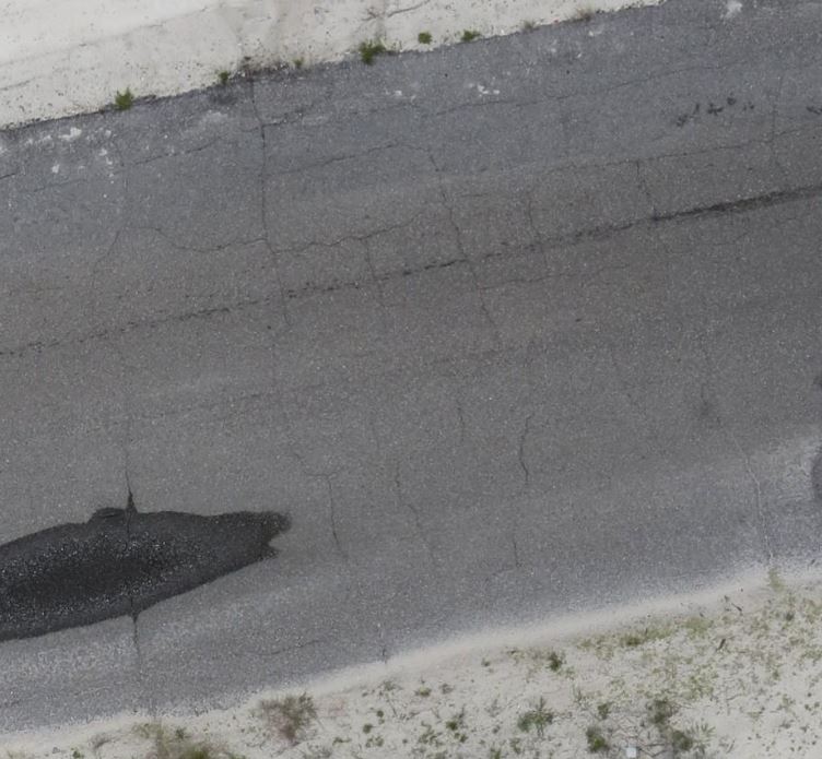
This image demonstrates the ability of high resolution aerial imagery to support infrastructure maintenance applications.
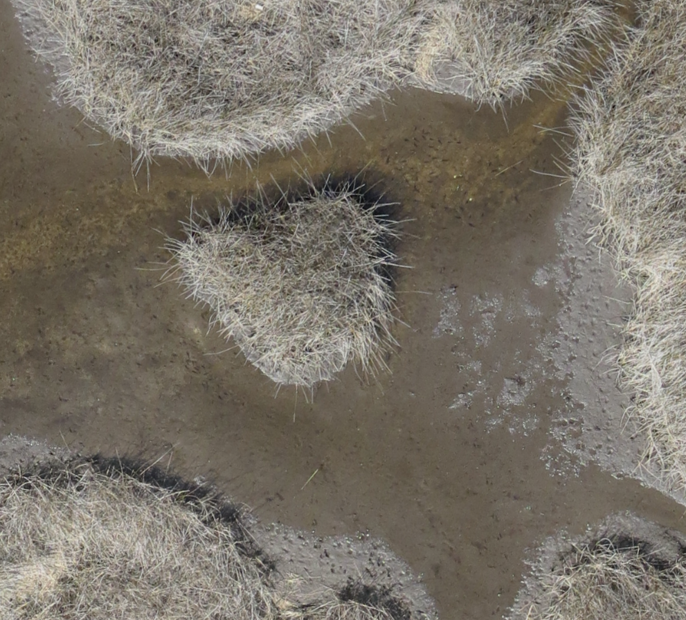
High Resolution Image of Marsh Habitat to Support Species Identification